
Walk a Johnson County Street
A sound street search uses records in a set order. The address first identifies a parcel. The parcel supplies the stable legal description needed for deeds and plats. Only after that should a researcher test whether a voter entry, permit, or historical directory points to a person at the site. This keeps an absentee owner, business entity, guest, or former voter from being mislabeled as a current occupant.
- Enter the house number and street name in the county property search. Save the Quick Reference ID, parcel ID, situs address, and owner fields.
- Open the same site in AIMS. Click nearby parcels to walk the block and compare lots, subdivision names, and address points.
- Use the plat and legal description to make sure the road name or number has not led to the wrong parcel.
- Search the current owner as grantee in the Register of Deeds index. Read the deed, then follow the prior seller backward.
- Use VoterView for one known person or request a lawful voter file. For older names, consult reverse directories at the library.
The useful chain is address to parcel, parcel to legal description, and legal description to recorded deed. Residence evidence comes later. The Johnson County property and tax search and AIMS Online Mapping are the best first pair.
Johnson County Address Search Fields
The Taxbill form is more precise than a single free-text box. Put only the street name in its street field, without the city or state. A Quick Reference ID is useful when street spelling varies. Owner and business fields provide a second route, though an owner result still does not prove residence.
| Portal field | Input | How to use it |
|---|---|---|
| Quick Reference ID | County tax ID | Use the known identifier to avoid address ambiguity. |
| House # | Street number | Pair it with the separate street-name field. |
| Street Name Only | Name, no city/state | Try the base name before direction or type variants. |
| Last Name / First Name | Owner name | Cross-check after finding the parcel. |
| Business Name | Entity owner | Useful when a trust or company holds title. |
| Advanced Search | More filters | The live dynamic field set may change. |
A result can lead to tax and property details. Current appraised values update each November. The physical site address is the situs address, while the billing address is where tax mail goes. Those fields may point to different places.
Open the official AIMS map shown below.
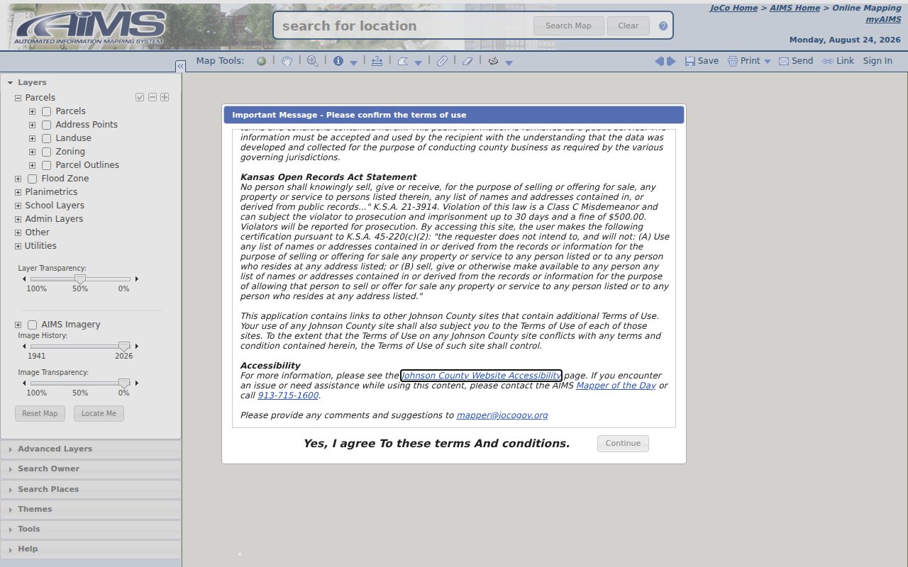
The map adds parcel geometry and nearby sites, which a tax result alone cannot show.
Map Johnson County Street Parcels
AIMS accepts an address, property ID, owner name, plat, subdivision, neighborhood, school, city, ZIP code, intersection, township-range-section, AIMS map number, or abbreviated legal description. Its parcel-identify tool can be used one lot at a time. Turn on parcel outlines and address points, then add only the layers needed. Historic aerials can help date a change, while zoning, flood, precinct, school, city, and ZIP layers explain why agencies may describe one address in different ways.
A parcel card may display the Quick Reference ID, legal description, lot and block, subdivision, owner and billing information, year built, tax links, zoning, voting district, schools, utilities, census geography, and nearby public features. Most information is viewable without signing in, but protected owner information can require acknowledgement or a myAIMS login.
- Parcel
- A mapped tract used for tax and land records; it is not a household.
- Situs address
- The physical address of the land, which may differ from the tax-mailing address.
- Plat
- A recorded map showing a subdivision, lots, blocks, and streets.
- Criss-cross directory
- A directory arranged by street and house number for address-to-name searching.
Map limit. AIMS says parcel lines are approximate, often within about 10 to 15 feet; a deed or recorded plat controls.
Johnson County Records by Street
No one roll answers who lives here. Each source establishes a different fact, and access can range from a free map to a written request or office visit.
| Address source | Local keeper | Evidence shown | Route |
|---|---|---|---|
| Property and tax | Treasury, Taxation & Vehicles | Owner, situs, billing address, parcel and tax context | Taxbill, counter, or KORA |
| Parcel map | AIMS | Lot geometry, legal description, layers and aerials | Online map and card |
| Deeds and liens | Register of Deeds | Parties, transfer date, document and legal description | ERM, terminal, mail, copies |
| Plats | AIMS and Register | Subdivision, lot, block and recorded streets | Online search; paid copy |
| Permits | County or city | Project, applicant, status or inspection when public | MGO, city portal, KORA |
| Voter records | Elections and Kansas | Known-person registration or requested file fields | VoterView or written request |
| Old directories | Johnson County Library | Historical address, person or business clue | Library and digital catalog |
The Johnson County street directory becomes reliable only when source labels stay attached. A deed proves a transfer, a tax roll names an owner, and a directory gives dated address evidence. None should silently stand in for another.
Deeds Along Johnson County Streets
The Johnson County Register of Deeds keeps the legal ownership chain. Its published index reaches from 1920 to the present. The legacy document library describes images indexed for 1920 through 1987 and plats from 1866 forward. A system transition matters in 2026: the old subscription ended July 1, and Enterprise Records Management was expected in the fall. Check current account and image procedures.
Start with the current owner as grantee, meaning buyer or recipient. Read that deed for the grantor, the seller or giver, then search that party as a grantee in an earlier range. Keep the document number, recording date, book and page when shown, and legal description. If the web image is unavailable, use the office terminal, mailed copy request, or County Archives.
The legacy Register index screen appears below.
The index is an access point to instruments, not a resident list. A legal description is the safest bridge back to AIMS.
Note: Copies are listed at 25 cents per page and certification at $13; confirm the fee before ordering.
Plats Stabilize Johnson County Addresses
A street number can change, but subdivision, lot, and block often provide a steadier key. The Johnson County plat search accepts plat name, book and page, AIMS map number, year platted, recorded date, city, and plat ID. Sound-alike searches help with spelling. Some plats have not been processed, and online images are not certified or necessarily to scale.
The county plat-search route appears below.
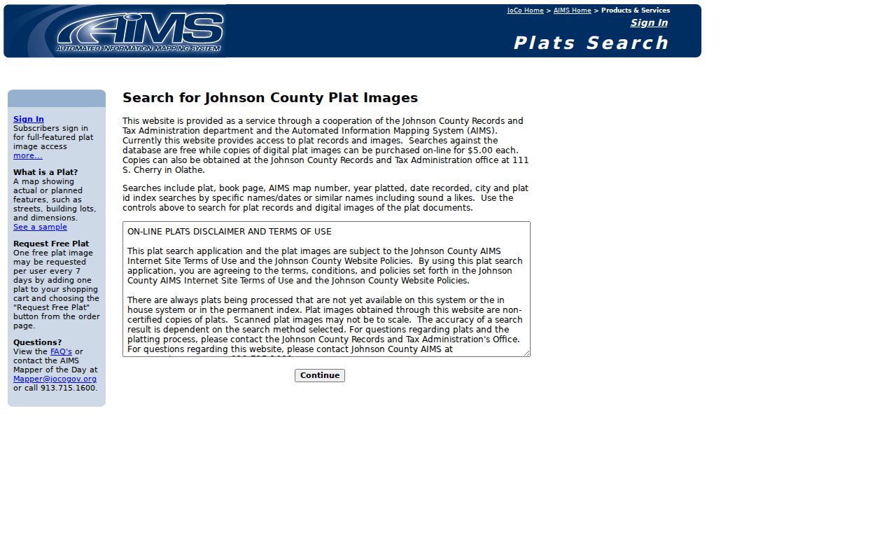
Use the plat to translate a street label into the land description needed for deeds. Digital copies are listed at $5, with one free image every seven days.
Johnson County Street Name Traps
County standards document duplicate road names, duplicate numbers in separate cities, several names for one route, inconsistent direction or street type, numbers out of sequence, and updates that did not reach every agency. A street may cross a municipal or ZIP boundary. Search both the modern label and the older label found in a directory, deed, or map.
The AIMS addressing standards provide the context shown here.
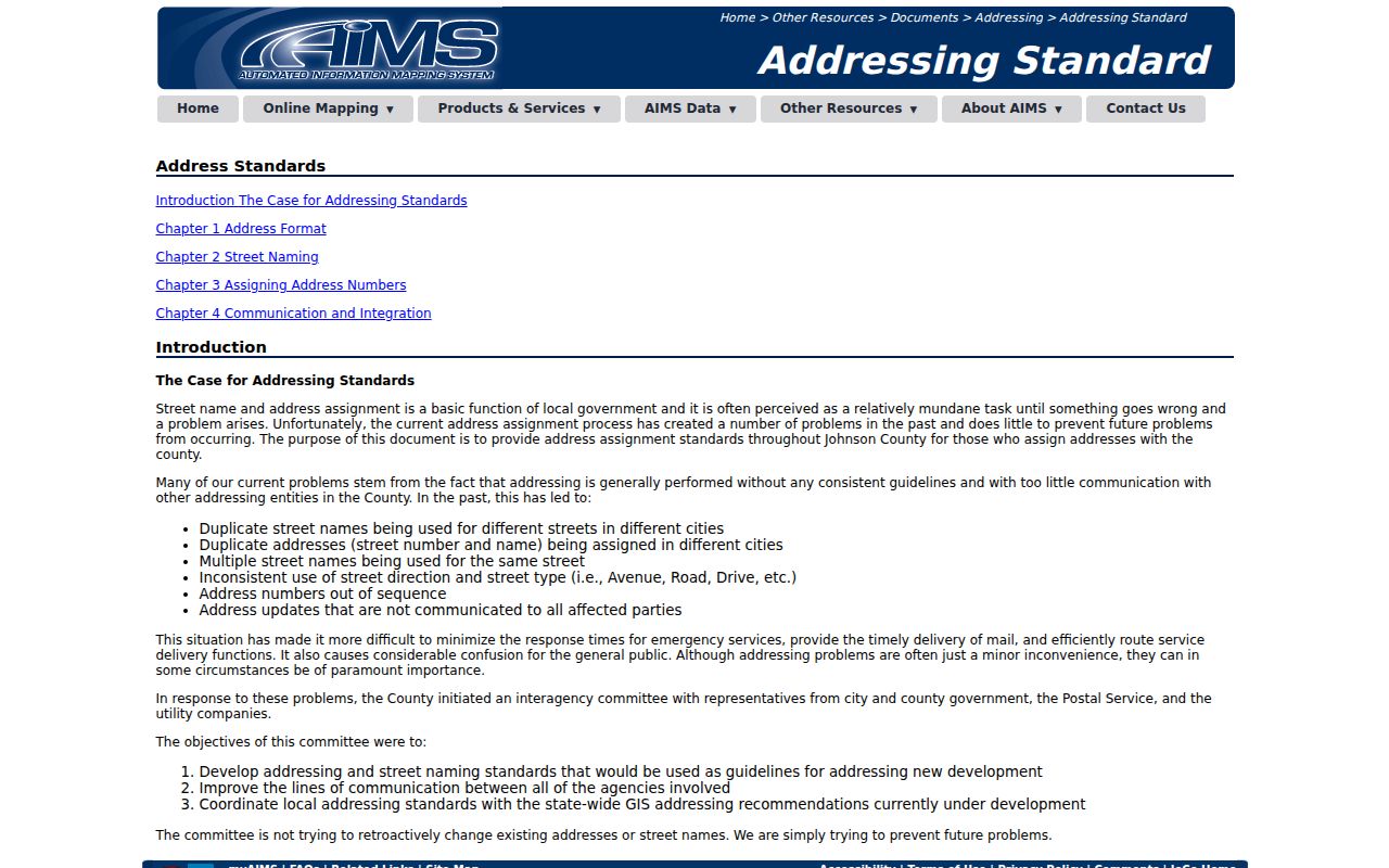
The standards explain why a failed search should lead to a legal-description or parcel-ID search, not a claim that no record exists.
Johnson County Permits by Address
Permits can date an addition, new building, inspection, or utility change. Unincorporated Johnson County applications since January 1, 2020 appear through the MGO customer portal. Cities hold separate systems, so Lenexa, Olathe, Overland Park, and others may require a city portal or Kansas Open Records Act request. A public permit may name an owner, contractor, or applicant, but that role is not proof of occupation.
Save the issue date, project type, status, and parcel or legal identifier. Pair it with the tax roll and deed in force at that time. Ask the relevant city or county custodian for older records not indexed online.
Voters on Johnson County Streets
Kansas VoterView checks one known person with first name, last name, and date of birth, or finds a polling place from an address. It is not a free browse-by-street roll. A match may show registration and address context, party association, ballot status, and polling information. A non-match can stem from spelling, a move, inactive status, or a protected address.
Johnson County Elections accepts written requests for countywide or district voter data. Listed fields can include name, residential and mailing address, phone, precinct, districts, registration date, and voting history. Countywide or district data is listed at $50 plus actual costs. Protected identity fields are removed, and Kansas law restricts list use.
Note: Voting history records participation in an election, never the choices made on a ballot.
Johnson County Reverse Directories
For dated occupant clues, move to the Johnson County city directory collections. The library catalogs Olathe Polk volumes for 1961 through 1984 and Mission volumes for 1962 through 1964. FamilySearch metadata identifies cross-reference volumes from 1996 and 2000, though access is protected and may require a login or library route.
Read the street-order section, then verify the name in the alphabetical section and volume legend. A business listing, phone entry, or tax mailing address must not be called a household without more evidence. Newspapers, obituaries, census schedules, and deeds can test the dated clue.
Limits of Johnson County Street Records
A Johnson County street directory cannot provide a complete, live household roster. Parcel records focus on title and tax billing. Deeds focus on legal instruments. VoterView requires a known person, and requested files have limits. Utilities, motor-vehicle addresses, protected records, guests, family members, and many non-owner occupants are not open street listings. Safe at Home and restricted-owner processes can conceal an address for safety.
Use a result only for the fact and date its custodian provides. Confirm key findings with the office that keeps the record. Respect a redaction or protected address rather than trying to defeat it.
Lawful personal use. Johnson County address records may support family, property, and civic research. Never use them to stalk, harass, intimidate, or harm anyone.