
Johnson County Address Eras
A sound trail for previous residents begins with the source closest to the period under study. Johnson County's live property systems describe today's parcel. The Register of Deeds index carries the legal chain into the twentieth century, while the County Archives, Kansas censuses, maps, and local collections reach farther back. No one source proves both ownership and occupancy.
| Source | Years It Covers | Where Held | What It Shows |
|---|---|---|---|
| Property and AIMS parcel record | Current, with historic aerials and plats | Johnson County online | Owner, situs address, legal description, parcel ID, plat and lot |
| Register of Deeds index | 1920 to present; plats from 1866 | Register of Deeds online and office | Grantor, grantee, document date, recording data and legal description |
| County tax rolls | 1862 to 2007 | Johnson County Archives | Taxed person or parcel at a dated point |
| Kansas censuses | Selected years, 1855 to 1940 | Kansas Historical Society | Named household and details that vary by year |
| Polk directories | Local runs from the mid-twentieth century onward | Johnson County Library | Names, phones, businesses, and address entries |
Coverage is not proof. Record the date printed on each roll or directory, not the day it was found. Add one row per source and label each person as owner, occupant, business, relative, or merely associated.
Anchor Johnson County Past Residents
Begin at the Johnson County property and tax search. Search by house number and street name. If that fails, use Quick Reference ID, owner name, business name, or property ID. Copy the situs address, current owner, KUPN, and full legal description. A situs address is the physical location; it may differ from the bill's mailing address.
Then open AIMS Location Maps. It resolves an address, property ID, owner, or KUPN and connects a parcel to its plat, lot, block, tax, aerial, district, school, utility, flood, census, and voting fields. Parcel lines are approximate. Trust the recorded legal description when old evidence conflicts with a drawn line.
Note: A different mailing address does not prove that an owner lives elsewhere or that another person occupies the Johnson County house.
Walk Johnson County Deeds Backward
The deed chain identifies past owners. The Register of Deeds Document Library describes an index from 1920 forward, images indexed from 1920 through 1987 in the legacy library, and plats from 1866. A transition to Enterprise Records Management is planned for fall 2026, so access screens may change.
- Copy the current owner's exact name and legal description from the parcel record.
- Find that owner's purchase deed and note both parties, date, type, book or instrument, and description.
- Search the seller as a grantee to locate the prior purchase.
- Repeat the handoff and compare the legal description at every step.
- For years outside online coverage, ask the Register for the index, deed book, image, or copy route.
- Grantor
- The person or entity transferring an interest.
- Grantee
- The person or entity receiving it.
- Chain of title
- The linked series of recorded transfers.
- Legal description
- Land wording that survives address changes.
The recorder also accepts walk-in and mail requests. Copies and certified copies are separate products. Ask the custodian which request is needed when an index entry lacks a viewable image.
Johnson County Rolls Before 1920
When the online trail ends, the Johnson County Archives supplies a bridge. Indexed holdings include delinquent taxes from 1858 through 1861, tax rolls from 1862 through 2007, marriages from 1858 through 1911, and appraisements from 1906 through 1970. These are dated records, not a current database, and staff research has limits.
The Archives may require a research-room visit or focused request. Give the address, legal description, year range, and names already found. Tax liability supports an ownership trail, but does not prove who lived there.
The captured Archives overview shows the official research route.
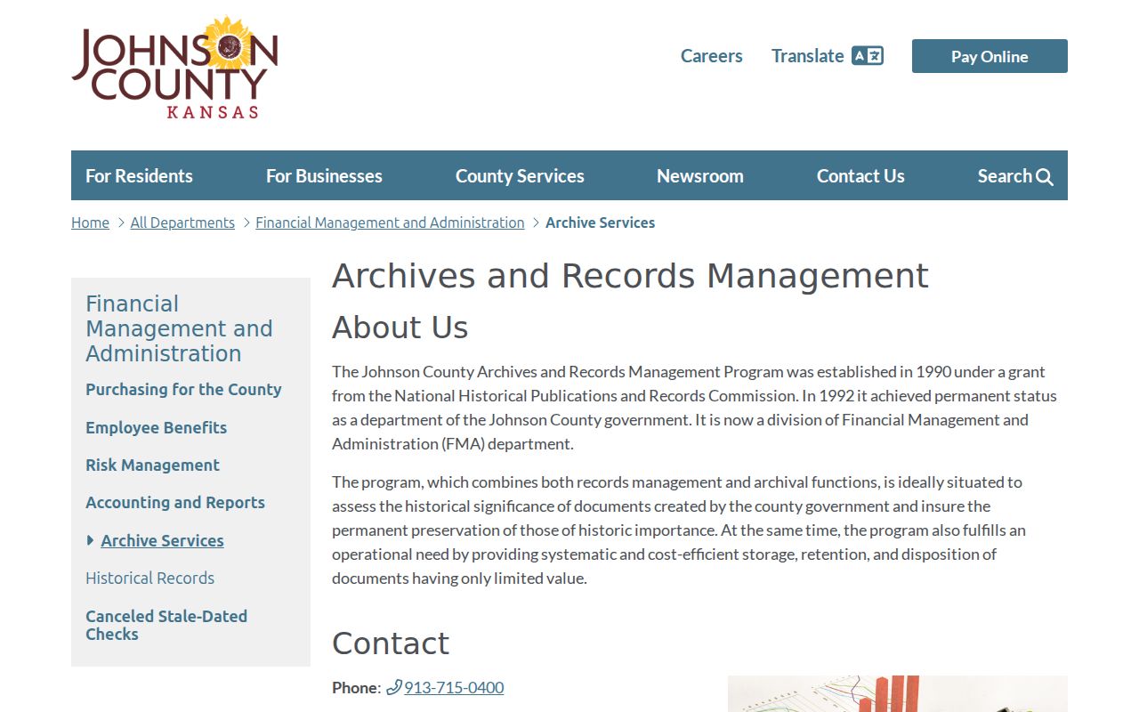
Use this route when a tax year, deed index, or appraisement must be checked outside live portals.
Local Files Name Past Households
The Johnson County Museum's non-digitized records include land, building, neighborhood, community-development, photo, and manuscript material available through finding aids and appointments. A house file, caption, subdivision record, or oral history may explain a name found between deed transfers.
The captured holdings page shows why useful Johnson County previous-resident sources are not always searchable online.
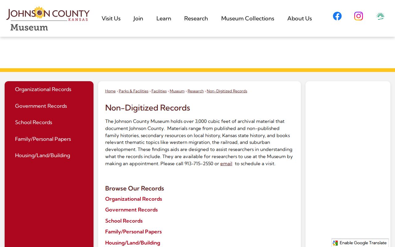
Give staff names, dates, the address, subdivision, and sources already checked. A narrow question is much easier to answer.
The 1884 Olathe Sanborn fire-insurance map adds building footprint, use, and materials. It can show change, but it is not an owner list. Pair it with deeds, directories, and taxes.
Pair Johnson County Directory Years
A reverse directory sorts entries by address, making it useful when an owner's name is unknown. Johnson County Library records include Olathe Polk volumes from 1961 through 1984, Mission and Johnson County material from 1962 through 1964, and a Johnson County North series beginning in 2000. Some items are for in-library use. The collection details belong to the Johnson County city directories search.
- Search the street and number in each available directory year.
- Record each name, phone, business label, and owner or renter mark.
- Compare the nearest released federal or Kansas census.
- Use deeds and taxes to separate an owner from a resident, relative, or business.
The Library local-history hub links JoCoHistory, obituary indexes, newspapers, maps, and partners.
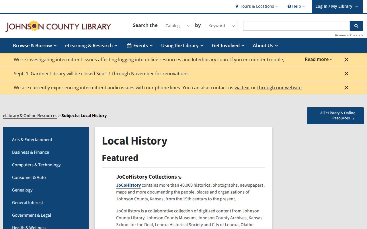
Those sources can confirm a move, business use, street change, or directory gap.
Kansas Censuses Bridge Resident Gaps
The Kansas Historical Society census guide identifies territorial and state schedules between 1855 and 1940 and explains fields by year. Old enumeration geography may not match today's parcel or city limits.
The captured guide is the year-by-year starting point.
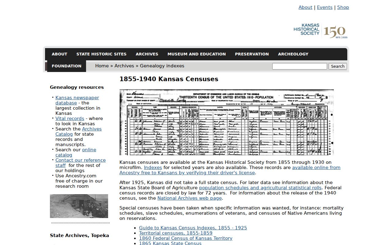
Verify the original schedule and cite its year, location labels, page, and household order. Do not turn an estimate or transcription into a firm address claim.
A census household is strongest when names also appear in a deed, tax roll, directory, obituary, cemetery record, or probate file. Each match should add evidence.
A 1951 Johnson County Snapshot
The 1951 courthouse time capsule preserves a 1950 Olathe phone directory, a May 5, 1951 trial docket, maps, newspapers, photos, municipal letters, and civic programs. It is not a complete roll. It can cross-check a phone, street, court party, business, or civic role at one moment.
A phone directory may name a subscriber, while a map fixes the street setting and a docket names a court party. None proves residence alone. Together, they sharpen the next search.
Close Johnson County Resident Trails
Obituaries, cemeteries, probate files, and later deeds often close the trail. The Library genealogy desk holds an obituary cabinet, directories, maps, and the Johnson County Genealogical Society collection. Probate may identify heirs, while a deed shows when title changed.
Keep uncertainty visible. A death may precede transfer, and a place of death may differ from residence. If nothing is online, use the library, Museum, Archives, Register counter, or a focused Kansas Open Records Act request. KORA normally calls for a response by the end of the third business day, though production may take longer and actual-cost fees may apply.
Lawful use. Research previous residents for house history, genealogy, estate work, or personal curiosity. Never use address history to track, harass, or harm a living person.