
Johnson County Block Sources
No official source is a complete household directory. The best block lookup combines Johnson County parcel geography with the public facts each custodian is allowed to release. Owners, registered voters, neighborhood contacts, and past directory entries are different populations.
| Source | What It Shows About a Block | Access |
|---|---|---|
| AIMS parcel viewers | Adjacent parcels, owners, legal land data, plats and public-service layers | Free map; protected-owner and approximate-line limits |
| Property and tax search | Current owner, billing address, situs and parcel reference | Free public portal |
| Johnson County voter file | Specified registration, address, precinct, district and voting-history fields | Written request, fee, certification and redaction rules |
| Lenexa and Olathe group sources | HOA or neighborhood name, boundary, public contact and activities | Public pages; no complete member roster |
| Historic directories and JoCoHistory | Earlier address, phone, business and community clues | Library, local collections, or item-specific digital access |
An owner name can identify the person or entity holding title, but it cannot establish every occupant. A neighborhood boundary describes a place, not private membership.
Click Johnson County Neighbor Parcels
AIMS Location Maps accepts an address, property ID, owner name, or KUPN. Search the anchor address and select its parcel, which turns blue. Clicking a neighboring parcel loads that parcel's public detail. Compare situs address, owner and billing fields, legal description, lot, block, and plat rather than copying a name from the map.
- Resolve the known address and record its parcel ID and legal description.
- Click each parcel that touches it. Include the parcel across the street only if the research question calls for it.
- Write one ledger row per parcel, with situs, owner, mailing field, plat, lot, and source date.
- Classify roads, common land, utility strips, businesses, churches, and multifamily parcels separately.
- Use the tax, deed, permit, or plat link only when another fact needs confirmation.
That tight ring is the neighbor method. For every parcel on a long road, use the Johnson County by-street directory instead.
Map Johnson County Block Context
AIMS Online Mapping adds parcel browse, identify, a buffer tool, limit-to-map-extent, and zoom-to-result controls. Useful layers include Parcels, Address Points, Neighborhoods, ZIP, City, Voting Precincts, City Wards, Tax Units, Zoning, Flood Zones, Schools, Fire Service, Sheriff Districts, Building Footprints, and historic aerial images. Those layers explain which public systems touch the block.
The block flow is simple: anchor address to adjacent parcel IDs, then owner and legal fields, then common plat or subdivision, followed by public tax, permit, deed, district, ZIP, and neighborhood facts. District borders can change. Johnson County approved new commissioner-district borders in 2025, so save the map date with any district result.
What does the map prove? It proves mapped parcel and service geography within the viewer's stated limits. It does not prove a household, a surveyed boundary, or current private affiliation.
Protected Johnson County Owner Data
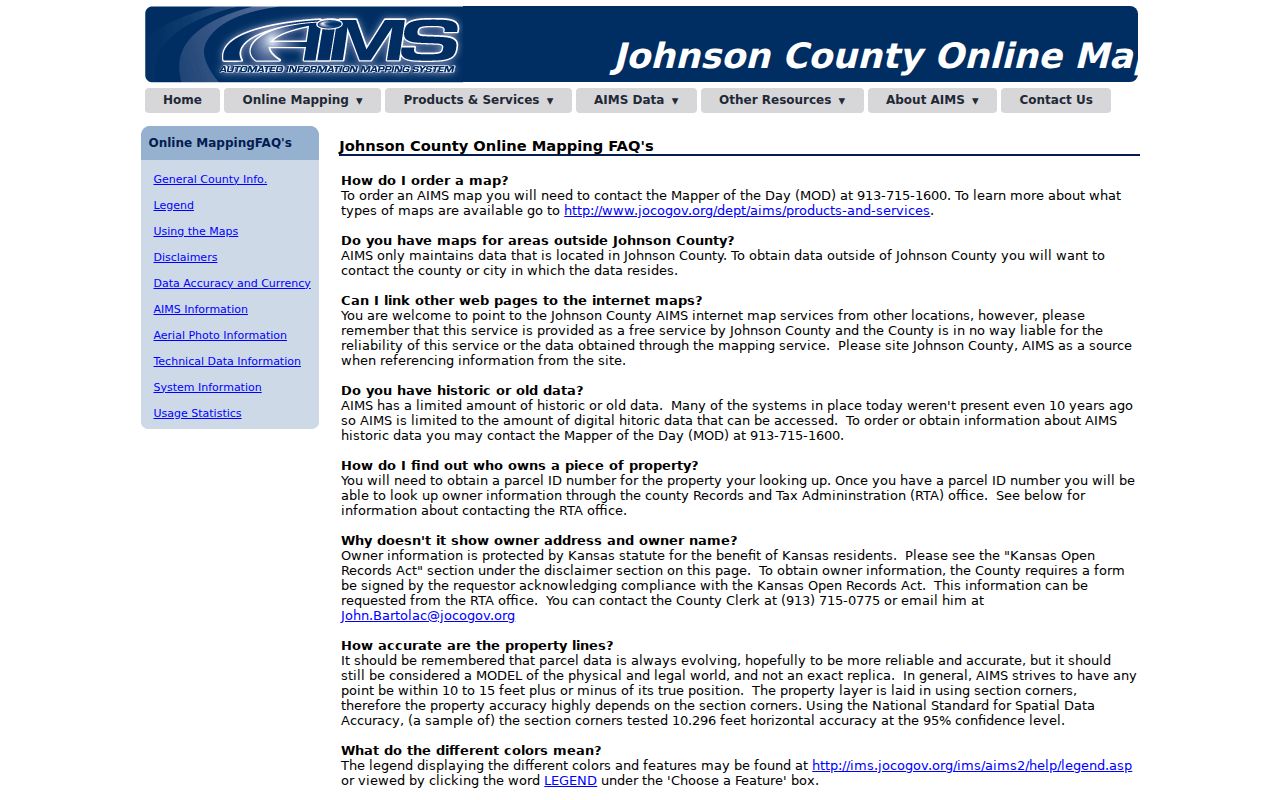
AIMS warns that parcel lines are approximate and not a survey. Property information refreshes nightly, yet a recent filing can still take time to appear. Owner access also carries a Kansas Open Records Act certification. Protected records may be restricted, and the county provides a documented correction or restricted-access route.
The captured AIMS owner-information rules show the conditions attached to map access.
Treat a missing owner as a limit, not a puzzle to defeat. Confirm errors through the custodian and never use another public record to reconstruct a protected address.
Note: AIMS can show an owner billing address, but a matching billing and situs address still does not identify every Johnson County neighbor in the home.
Johnson County Voters by Request
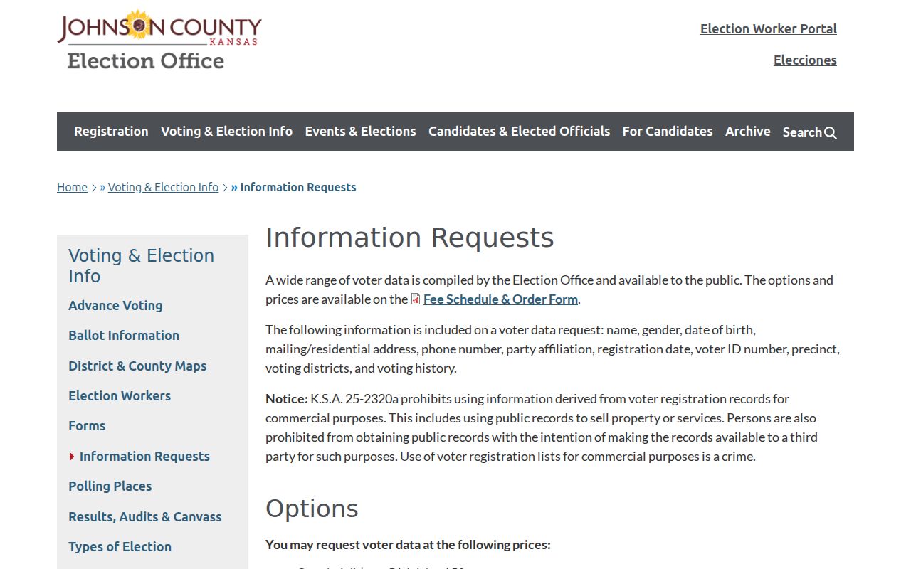
There is no free official block voter list. Kansas VoterView requires first name, last name, and date of birth for its person lookup, so it cannot scan a map for neighbors. The Johnson County Election Office information-request route can provide specified county or district data, subject to the request form, fee, certification, redactions, and statutory limits.
Available file fields may include residential and mailing address, registration status and date, precinct and district data, and voting-history fields. Social Security, driver's-license, and identification fields are protected. K.S.A. 25-2309, 25-2320, and 25-2320a govern access and use. Safe at Home participants and other protected voters may be suppressed or represented by substitute information.
The screenshot below captures the official request explanation.
The accurate conclusion is that registered-voter data may be available through the lawful county or state route, not that every resident of a block appears.
Lenexa Neighbors and HOA Contacts
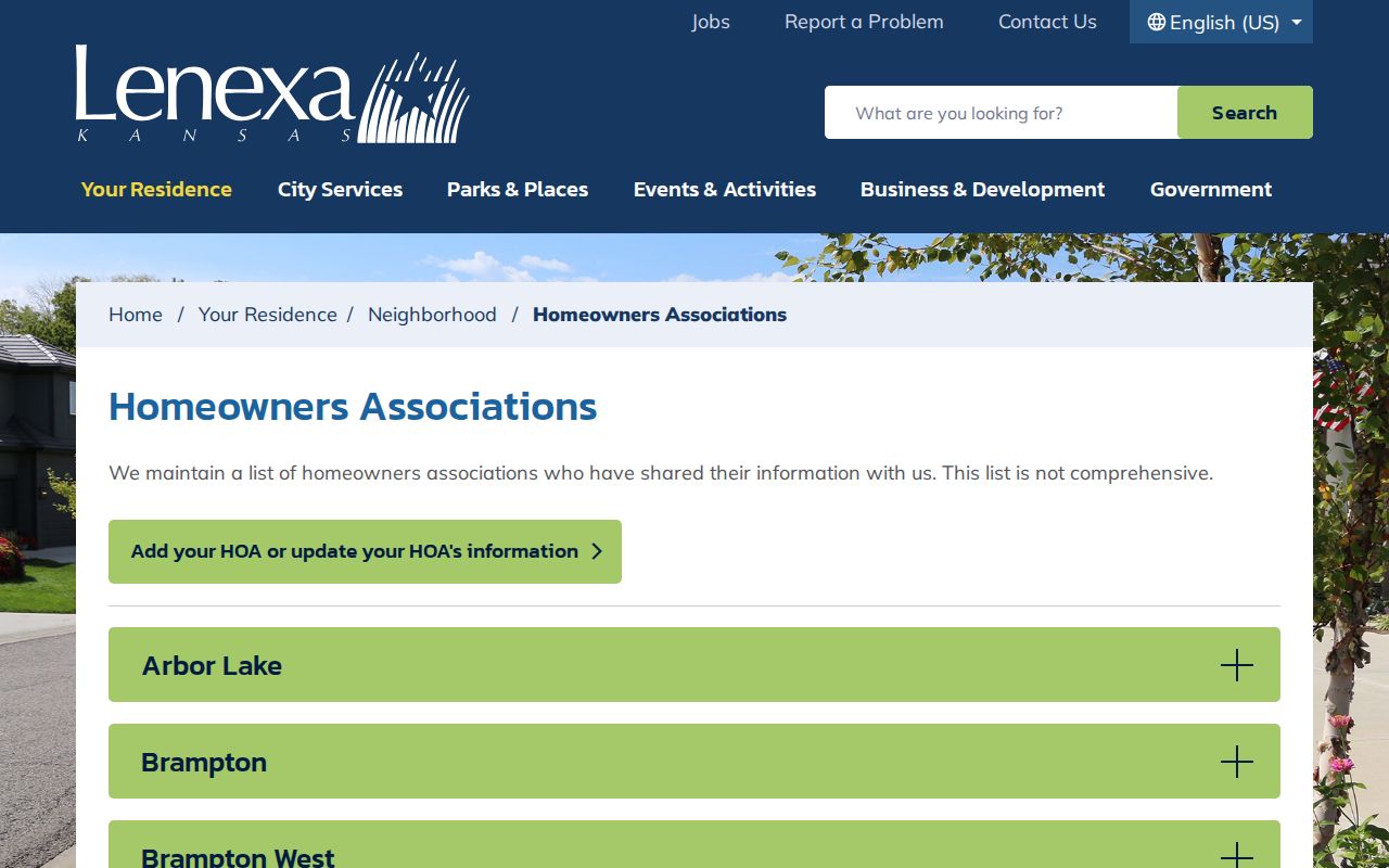
The City of Lenexa HOA page lists associations and may provide service areas, shared contacts, self-reported home counts, meetings, activities, or services. Lenexa expressly describes the inventory as noncomprehensive. It is a community layer, not a citywide resident roster.
The captured Lenexa directory shows how official local sources organize public HOA information.
Use a street or stated boundary to test whether an address might fall within an association. Confirm coverage with the public contact. Do not treat an HOA name, subdivision label, or meeting notice as proof that any person is a member.
Olathe Neighbors by Boundary
Olathe's official registered-neighborhood PDF lists neighborhood names, north, east, south, and west boundaries, plus a primary contact. Visible examples include Central, Chestnut Heights, Copper Creek, Copper Creek Estates, Courts at Fairfield, Dalington Subdivision, Downtown, Downtown Olathe Connect, Eaglecrest, and Eastbrooke. The Neighborhood Toolkit explains how groups form and use city resources or community grants.
Lenexa Associations
Official HOA inventory
Noncomprehensive list with public association details.
Olathe Neighborhoods
Registered-neighborhood boundaries
Boundary descriptions and primary contacts, not members.
AIMS Neighborhood Layer
County mapping layer
Geographic context that should be checked against city sources.
A public contact represents an organization in a stated role. The contact does not supply a member list and does not prove that a nearby household participates.
Johnson County Community Clues
JoCoHistory carries school, church, civic-organization, photograph, yearbook, newspaper, and oral-history material. City agendas and minutes may name neighborhood representatives or people who made public comments. My Resource Connection can search community services by ZIP or county, but it is a service directory, not a residents list.
Congregation, civic-club, and block-watch rosters are usually private unless voluntarily published or included in a public filing. A photo caption or yearbook can support an old community link. It cannot establish present membership or residence. Keep public role, organization contact, historic affiliation, and household identity in separate columns.
Compare Johnson County Neighbor Tools
Official rolls are narrow, dated, and tied to a custodian. Commercial neighbor tools may merge public records, user submissions, and stale files without making the source date clear. That can look convenient while hiding whether a name came from title, voting, a phone file, or an old address.
| Question | Official Johnson County Source | Commercial Category |
|---|---|---|
| Which parcels touch? | AIMS map with approximate-line warning | May simplify or omit parcel geometry |
| Who owns a parcel? | Tax and AIMS record with source date | May blend current and prior names |
| Which group covers the area? | City boundary or HOA source | May infer affiliation from geography |
| Can the claim be corrected? | Named county or city custodian | Correction process varies |
Use the official source for the exact claim, then preserve its date and limits. Do not infer a private relationship from two adjacent addresses.
Respect Johnson County Neighbor Privacy
Public parcel records omit many people who may live nearby, including family members, guests, and other non-owner occupants. Utility, delivery, motor-vehicle, and private membership data do not become public merely because an address is known. Kansas Safe at Home provides a substitute-address program for qualifying survivors, and AIMS has a restricted-access process.
Use public records for civic curiosity, reconnecting, property questions, scam checks, and personal safety without pressing beyond the published limits. Ask a custodian to correct a record when facts conflict. Do not try to expose a person whose address is hidden.
Lawful use. Johnson County neighbor lookups never justify watching, threatening, harassing, or harming anyone. Respect protected addresses and private household details.